
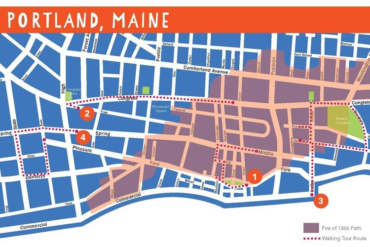
Self-Guided Walking Tours
Be your own tour guide! You can use our interactive maps below to explore Greater Portland anytime! Our online maps can be used to take a virtual tour from your computer, or you can use them on your smartphone as you walk. We offer interactive maps of more than a dozen Portland neighborhoods (including Peaks Island), plus Cumberland, Gorham and Yarmouth.
4 Walks Through Portland Family Guide
Greater Portland Landmarks’ first “Family Guide” to Portland’s history is a packet of walking tours that focus on four historic neighborhoods. Walking tours cover the Old Port, Congress Street from Congress Square Plaza to City Hall, the India Street neighborhood, and the State Street area. Tours appeal to all ages, with learning opportunities for ages 8 and up.
While these virtual tours are free, please consider making a donation to support our work!
To further enrich your experience, review common architectural styles to prepare for your tour.

Historically one of Portland’s densest and oldest neighborhoods, East Bayside tells the story of the city’s expansion by landfill, rebuilding after the Great Fire of 1866, and devastation by Urban Renewal policies. Click here to explore!

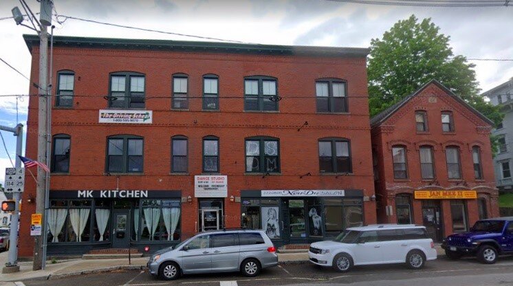
West Bayside is one of Portland’s oldest extant neighborhoods, with buildings that predate the Great Fire as well as a neighborhood defined by immigrant communities, industry, and Urban Renewal.
Click here to explore!

Congress Street is the commercial hub of the Portland Peninsula, with buildings that originated as stately homes and as some of Maine’s iconic historic retailers, and many that have gone through transformations as they changed with the times. Explore Congress Street!

Click here to explore the history of this waterfront neighborhood and the impact major transportation corridors have had on its development.
The India Street neighborhood has been built, destroyed, rebuilt, and dramatically changed through its history. The surviving buildings tell the story of the neighborhood’s varied businesses and diverse community in the 19th and 20th centuries. Explore India Street!

The area has been known as Bishop's Corner, Westbrook Junction, Deering Junction, and Morrill's Corner and was once a part of the City of Westbrook and the City of Deering. Take a walk through historic Steven's Plain and the Morrill's Corner neighborhood - click here to explore!

Historically one of Portland’s most diverse neighborhoods, Munjoy Hill’s buildings tell the story of the neighborhood and the dynamic role its residents have played in the social and cultural history of our city. Click here to explore!
Take a tour of one of Portland's early street car neighborhoods! Click here to explore.

The Oakwood Heights neighborhood near USM, formerly part of the former Deering Estate, was subdivided in 1923 by Thomas Sanders, a local developer. The homes built by Sanders in this neighborhood are examples of early 20th century kit and catalog homes in Greater Portland. Click here to explore!
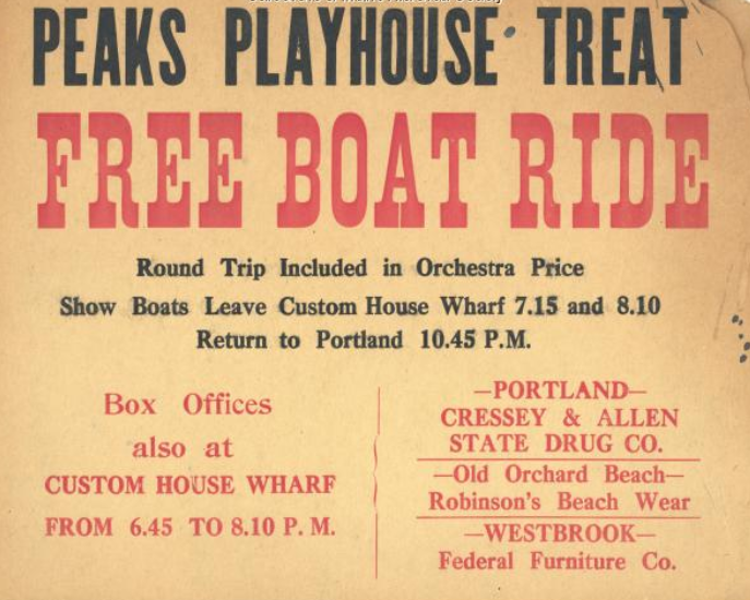
Click here to explore Peaks Island's downfront area, a mix of businesses, hotels, former summer residences, and entertainment buildings.

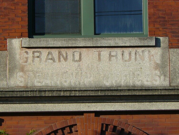
Largely built on former city land used by Portland's poor farm, the St. John and Valley Street neighborhood grew up around the former Union Station. Neighborhood homes were occupied by railroad employees, local businessmen, and their families. The remaining homes and early commercial buildings capture the impact the birth and death of one major employer, the railroad, and the rise of another major employer, Maine Medical Center. Click here to explore!

This commercial center is home to some of Deering’s most iconic buildings. Just off Forest Avenue are some beautiful historic homes that capture the history and growth of the neighborhood. Click here to explore!

Explore the neighbors and networks of the houses around the Western Promenade, including many homes designed by famous Portland architects for some of the city’s most successful entrepreneurs and businessmen. Click here to explore!

A brief tour of Portland's historic working waterfront from Deake's Wharf eastward to Maine Wharf near the foot of Franklin Street. Click here to explore!

Click here to explore the homes and businesses of Portland’s Chinese community in the 1920s!

Click here to explore the town of Cumberland’s maritime and agricultural roots with this map made in collaboration with the Cumberland Historical Society.
Click here to explore the three historic districts in the town of Gorham!

Click here to explore the rich history of the town of Yarmouth with the Yarmouth Historical Society’s walking tours, illustrated with historic images.
Thank you to the Maine Historical Society and Maine Memory Network for their fantastic image database, which has greatly helped us make these tours!